


 After years of persistent advocacy, the Jonah Center’s vision of a 111-mile bike route in central Connecticut (The Central CT Loop Trail) is gradually coming into view as a practical reality. Two major steps have been accomplished:
In 2019, the CT General Assembly recognized the Central CT Loop Trail and the Air Line Trail – Farmington Canal Trail connector in Public Act 19-161, Section 4. This law instructed the Department of Transportation to identify a route for a multi-use trail from the Arrigoni Bridge, through Middletown and Meriden, to the Farmington Canal Trail in Cheshire.
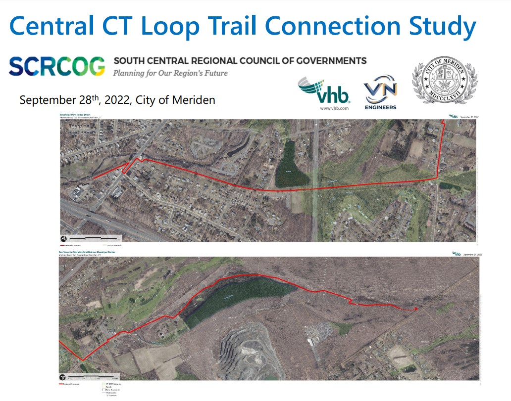
In 2022, a route study for a 3.5-mile section of the connector trail from Brookside Park in Meriden to the Meriden—Middletown boundary has been completed.
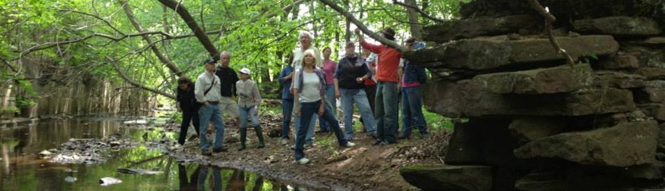
The Meriden study identified a preferred route (in technical jargon known as the “preferred alignment”) that utilizes 1 mile of the old horse-drawn trolley car route between the 2 cities. It also crosses 2 miles of city-owned or utility-owned land adjacent to scenic Giufridda Park and the Bradley Hubbard Reservoir. On these 3 “offroad” miles of the total 3.5 mile trail section bicyclists and pedestrians will be separated from motor vehicle traffic. The route may be viewed on a interactive, zoomable map developed for us by cyclist Pete Salomone.
One area of concern is the 3/10-mile hill from Westfield Road to Giufridda Park, shown on the interactive map between mile 1.55 and 1.86. We recommend lengthening that stretch by incorporating some curves or switchbacks to lessen the grade.
A recording of the study presentation and the slide deck can be found here.
A previous post on the Central CT Loop Trail and ALT-FCT Connector with more details can be found here.
Here’s how you can help now: Email comments that are supportive of the connector route (along with any concerns) to Meriden’s Department of Public Works: PublicWorks@meridenct.gov