


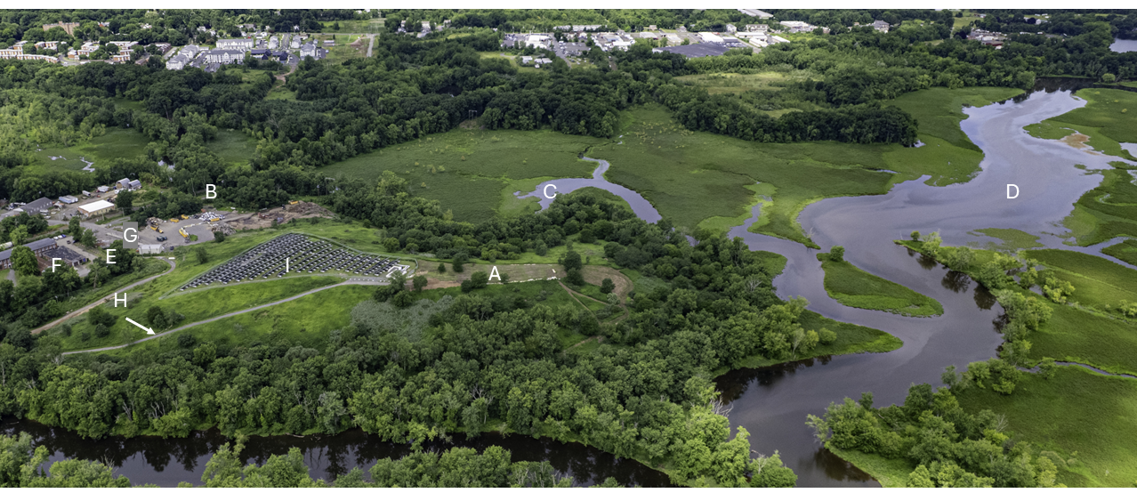
Drone photo courtesy of Matt Stauble, Stauble Media. Click on the image to enlarge.
Our vision for the Midden Lookout Park is coming into view. This has been a core project of the Jonah Center, since 2006!
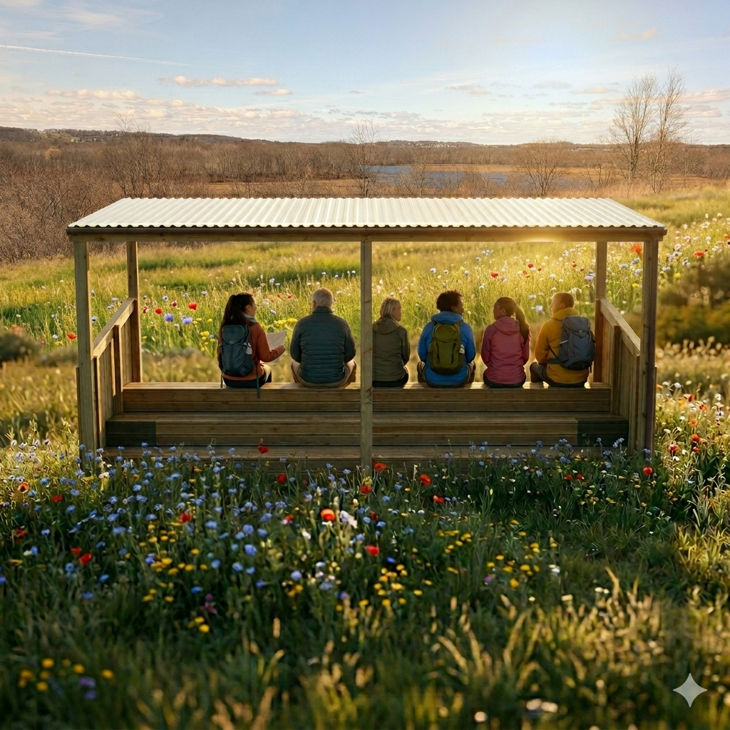
A recent drone photo by Matt Stauble shows the developing Midden Lookout Park in its summer glory. Follow along with this story by referring to the location letters A-I in the image.
A is the main location, the Midden Cap, where you can enjoy views of the 1000-acre marshland known as the Floating Meadows, a rich habitat for fish and birds. Continue reading