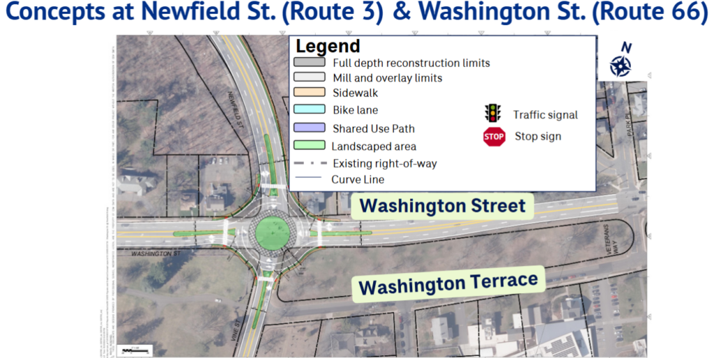
On September 22 and 24, engineering companies CDM Smith and VHB presented proposed safety improvements to Middletown’s main corridors. The studies prioritized Intersections where accidents and injuries were most frequent. Continue reading





On September 22 and 24, engineering companies CDM Smith and VHB presented proposed safety improvements to Middletown’s main corridors. The studies prioritized Intersections where accidents and injuries were most frequent. Continue reading
Knowledge is power, especially when it comes to energy costs.
That’s why we are offering Let’s Talk Energy, monthly learning opportunities with Eversource at the Russell Library.
Join us on the last Monday of the month in September, October and November.
Use this LINK to access the Russell Library Event Calendar to register.
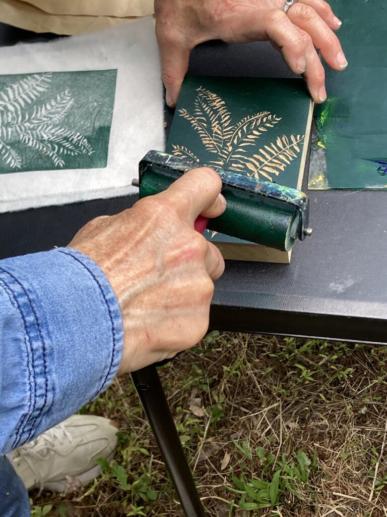
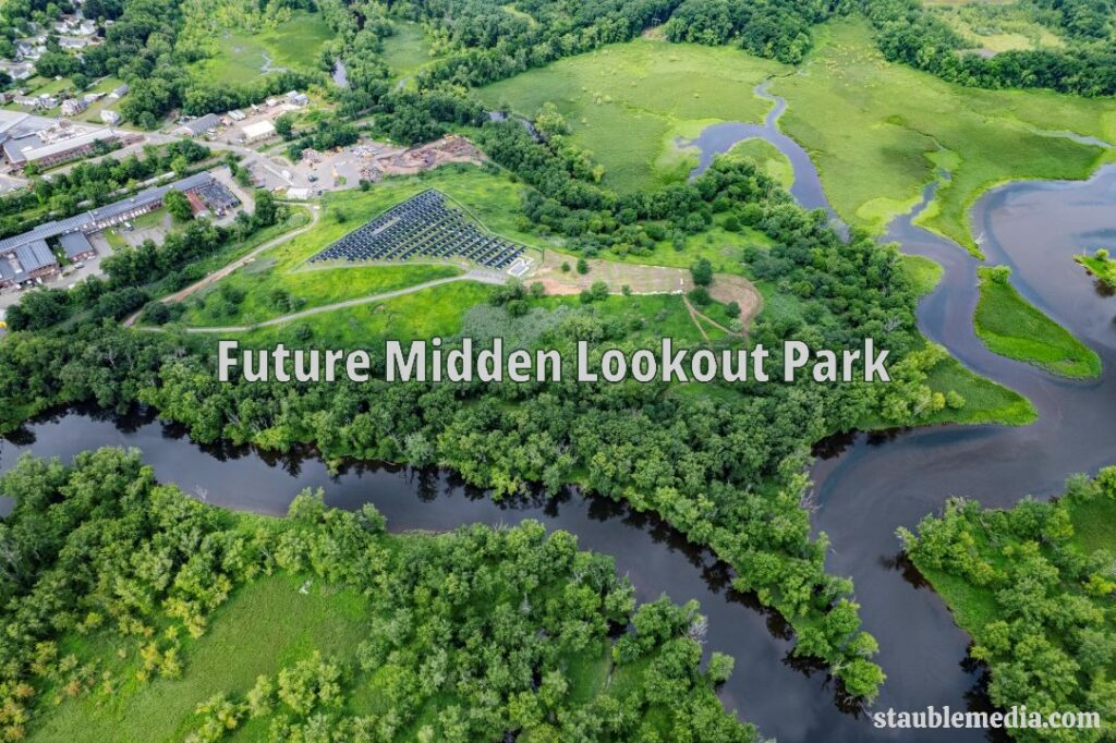
All are welcome to attend and connect with the beautiful scenery at the future Midden Lookout, located at the closed Middletown landfill. This is a free, family-friendly event with fun activities, snacks and refreshments. Read the full post for more details!
Date & Time: Saturday, October 17, 2026
2:00 PM – 5:00 PM (Rain Date – Sunday, October 18)
Location: 180 Johnson Street, parking at the Keating Building, activities at the top of the closed landfill.
Use this LINK to register to attend.
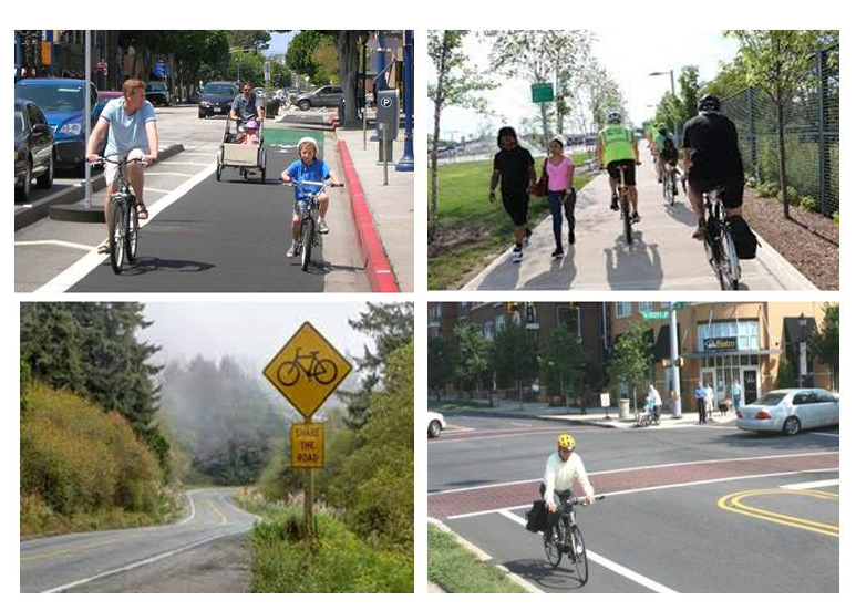 The results of a 1-year study on how to make Middletown’s most dangerous streets safer will be shared at public information meetings on September 22 and September 24 in Middletown’s Council Chamber. Presentations by engineering firm CDM Smith will be given at 5 p.m., followed by questions and comments until 7 p.m. Continue reading
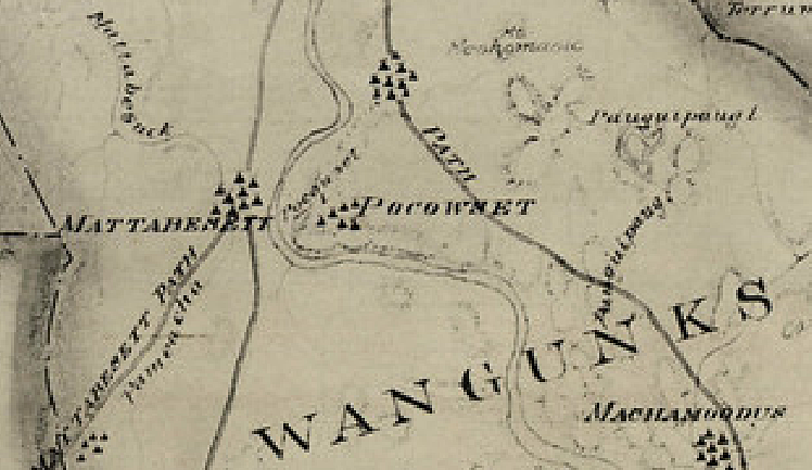
A section of “Map of The State of Connecticut Showing Indian Trails, Villages, and Sachemdoms Made For the Connecticut Society of the Colonial Dames of America” by Mathias Spiess and Hayden Griswold, 1930.
This map shows approximate locations of Wangunk camps on both sides of the Connecticut River before the settlement of Europeans in what became Middletown and Portland. (The entire statewide map may be found here.)

Bird populations have been declining in Connecticut for some time. This is one reason why we are working to suppress the mugwort infestation on the midden cap and replant with wildflowers and grasses to create a pollinator- and bird-friendly environment. Continue reading
By the end of this year, over 250 Middletown homes will complete a home energy assessment—most by this fall.

All Middletown residents can participate in HeatSmart Middletown.
Residents who have their home assessed save $70-$100 per year on their energy bills, and additional upgrades can lead to even more savings.
How are we reaching 250 homes in the year of America 250?
Here’s something to celebrate! With help from Lisa Liesener, Middletown’s Recycling and Sustainability Coordinator, we connected with the Middletown Housing Authority. Executive Director Ben Bare has committed to completing energy assessments at Housing Authority homes in the Rockwood Acres, Sunset Ridge, and Santangelo Circle neighborhoods.
Continue reading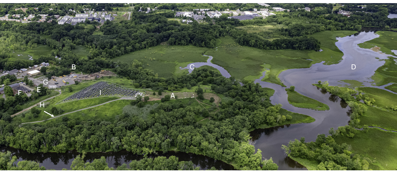
Drone photo courtesy of Matt Stauble, Stauble Media. Click on the image to enlarge.
Our vision for the Midden Lookout Park is coming into view. This has been a core project of the Jonah Center, since 2006!
A recent drone photo by Matt Stauble shows the developing Midden Lookout Park in its summer glory. Follow along with this story by referring to the location letters A-I in the image.
A is the main location, the Midden Cap, where you can enjoy views of the 1000-acre marshland known as the Floating Meadows, a rich habitat for fish and birds. Continue reading
Watch carp spawning in the Coginchaug River just upstream from the canoe and kayak launch in Middletown — a Jonah Center project completed in 2014. It’s the perfect place and time of year to see many amazing forms of life out in the Floating Meadows. Our thanks to videographer Phil LeMontagne for this video.

Since our last update, we’ve been coordinating with amazing partners to activate spring and summer work at the Midden.

We need volunteer paddlers to help us remove invasive water chestnut plants from local waterways. Ready to paddle and pull? Keep reading for dates and registration details.
Continue readingSpring is a great time to focus on energy efficiency in our homes. We tend to worry about staying warm in the winter, but it’s more important now than ever to stay cool during very hot summers.
Especially if you have an old AC unit, take the time to sign up for a Home Energy Solutions visit at Middletown » HeatSmart CT.